
Flood Insurance for Belmar, Street by Street
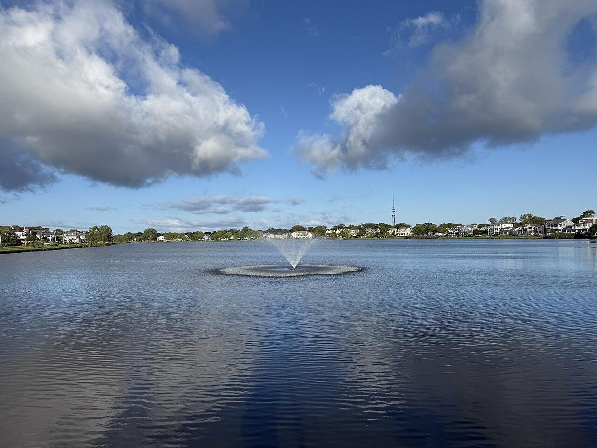
Belmar floods from four directions: Silver Lake, Lake Como, the Shark River and the ocean. Route 35 closes 10 to 15 times a year. In 2024, eight inches of rain sent Silver Lake over the street. Here’s where it floods, and how to insure for it.

Written and reviewed by Nate Feuerman, Stonebrook Insurance
Updated
To speak with an insurance advisor now, callCall an insurance advisor at (732) 905-4100Monday–Friday, 9 a.m.–5 p.m.
We’re closed right now. Leave your number and an advisor will call you back the next business morning.
Short answers
Do I need flood insurance in Belmar?
If you’re anywhere near the lakes, the river, Route 35 or Ocean Avenue, yes.
What’s Belmar’s CRS class?
Class 5, which means a discount on NFIP policies in high-risk zones.
Is the NFIP enough?
For many homes. Larger homes may need excess or private flood.
How long until coverage starts?
Usually 30 days for NFIP.
Belmar’s known flood spots.
From the 2026 Monmouth County plan.
| Location | What happens |
|---|---|
| Route 35 at K Street, by the L Street beach | Water backs up K Street toward 13th Avenue. |
| Route 35 at Maplewood Road | Street flooding; closures. |
| Route 35 at L Street Beach and Maclearie Park | Shark River overflow. |
| A Street | The Silver Lake outfall. |
| Silver Lake | Overflowed to street level in a 2024 storm with 8 inches of rain. |
| Marina Avenue, 8th to 10th Avenues | River flooding near the marina. |
| 5th, 6th, 8th and 9th Avenues at Main Street | Rain flooding. |
| 10th Avenue and Railroad Avenue; 12th Avenue | Low streets. |
| South end of Ocean Avenue | Ocean flooding, including the January 2022 nor’easter. |
Flood projects in the borough’s plan.
From the 2026 Monmouth County plan.
A 48-inch Silver Lake main to the inlet under A Street ($1.3 million).
A steel bulkhead at L Street ($2.7 million, partly federal BRIC funding).
Tide valves at Route 35 and K Street, and a Route 35 pump station.
Elevation help for about 114 primary residences in flood zones.
New FEMA flood maps (June 15, 2022).
Insuring a Belmar home for flood.
An NFIP policy covers the building up to $250,000 and contents up to $100,000. Belmar’s Class 5 CRS rating takes a discount off NFIP premiums in high-risk zones.
Private flood can sometimes cost less, and can cover more. Elevation drives the price on both, so keep your elevation certificate.
Look up your address
Search your Belmar address on FEMA’s map and send us the zone.
Open FEMA’s flood mapInsuring in Belmar?
We’ll quote NFIP and private flood side by side.
What our clients say.
Five-star reviews from Stonebrook clients on Google.
“Stonebrook was so easy to deal with and got me super competitive pricing much faster than other agencies I was dealing with. Highly recommended!”
“I had an excellent experience with Stonebrook Insurance Agency. Rachel went above and beyond to help me find the right coverage, answering all my questions with patience and clarity. She made the process quick, stress-free, and made sure I understood every detail before moving forward. I really appreciated her professionalism and personal touch.”
“Had a great experience with Stonebrook. Nate was very knowledgeable regarding flood insurance on the Jersey Shore. …”
More for Belmar homeowners.
What Belmar homeowners ask us.
How many flood claims has Belmar had?
485 NFIP losses totaling about $19.4 million, per the 2026 Monmouth County plan.
How often does Route 35 flood in Belmar?
The borough says it closes 10 to 15 times a year.
Does flood cover my car?
No. Comprehensive on your auto policy does.
Neighbors: Avon-by-the-Sea, Wall Township, Neptune, Spring Lake.
Sources for this page
- Monmouth County Hazard Mitigation Plan 2026: Borough of Belmar annex
- Wikipedia: Belmar, New Jersey
- FEMA Flood Map Service Center
Figures come from the sources listed and are dated where the source gives a date. Coverage descriptions are general; your policy wording controls.
Let’s discuss how we can protect what you’ve built.
Take 30 seconds to take the first step towards better coverage.
Get a quote.
Tell us what you need and we’ll take it from there.